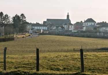
4,2 km | 4,8 km-effort


Gebruiker


Gratisgps-wandelapplicatie
Tocht Stappen van 8,1 km beschikbaar op Normandië, Orne, Tourouvre au Perche. Deze tocht wordt voorgesteld door ODDAD78.
![Tocht Stappen Tourouvre au Perche - [Itinéraire] Parcours de découverte de la Réserve de Bresolettes - Photo](https://media.geolcdn.com/t/375/260/8e304002-6848-4d50-9971-301dd63ddb71.jpg&format=jpg&maxdim=2)
Stappen


Stappen


Stappen


Stappen

![Tocht Mountainbike Tourouvre au Perche - [Itinéraire] Les ruines du château de Gannes - Photo](https://media.geolcdn.com/t/375/260/ext.jpg?maxdim=2&url=https%3A%2F%2Fstatic1.geolcdn.com%2Fsiteimages%2Fupload%2Ffiles%2F1524743154velo.jpg)
Mountainbike


Auto


Mountainbike


Stappen

![Tocht Stappen Tourouvre au Perche - [Itinéraire] L'étang du Cachot - Photo](https://media.geolcdn.com/t/375/260/ext.jpg?maxdim=2&url=https%3A%2F%2Fstatic1.geolcdn.com%2Fsiteimages%2Fupload%2Ffiles%2F1553511878bg_sport_marche.png)
Stappen
